First heavy snowfall warning
0 Comments Published by CBEMN on Thursday, September 14, 2006 at 4:17 PM.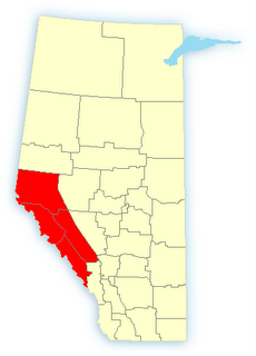
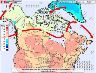
Banff National Park and Jasper National Park 3:44 PM MDT Thursday 14 September 2006 Snowfall warning forBanff National Park continued Heavy snowfall for Mountain Parks.A slow moving disturbance over southern Alberta will continue to bring cool temperatures and precipitation for the rest of the week. Precipitation will be mainly rain except over mountain regions where snow will dominate.Colder air from the north will continue to move into Alberta today resulting in the greatest potential for snow overnight. Further snowfall accumulations with local amounts of 10 to 20 centimetres are possible.
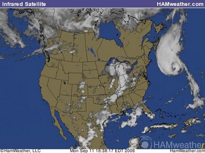
Florence to Impact Newfoundland
0 Comments Published by CBEMN on Tuesday, September 12, 2006 at 4:39 AM.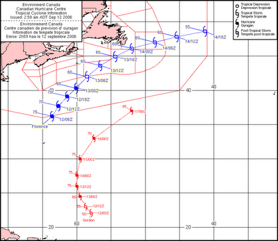
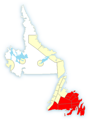 Tropical Storm watches and warnings have been issued for the southern and eastern regions of Newfoundland. They should expect heavy rainfall (50-100 mm in a 12-24 hour period) and high winds (70 kph with gusts to 135 kph). In addition, the surf will be very rough all along the maritime coastal regions well into tomorrow. More to come on this....
In the meantime, there is a cold front pushing through in Alberta, and there is a potential for heavy snowfall in Clagary by the end of the week. More to come on that front as well...
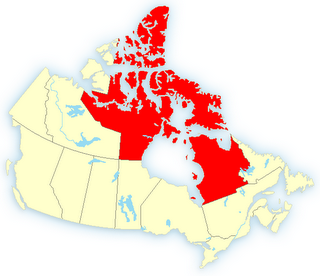
Pond Inlet 5:01 AM EDT Saturday 2 September 2006 Wind warning forPond Inlet continued Strong winds of 60 gusting to 80 will develop at Cape Dorset and Pond Inlet today. This is a warning that damaging winds are imminent or occurring in these regions. Monitor weather conditions..Listen for updated statements.An intense low pressure system currently over the eastern Kitikmeot is moving slowly northeastward. This weather system will generate strong winds at Cape Dorset and Pond Inlet today. These strong winds are expected to diminish this afternoon at Pond Inlet and tonight at Cape Dorset.Please refer to the latest public forecasts for further details.
